Worst Central Minnesota Storms in Recent Memory – Jen’s Top Five
The weather in Minnesota never leaves us lacking for something to talk about. The conversation at the dinner table, the water cooler at work and even in the elevator with strangers always seems to turn to what’s going on outside. Being a weather geek, this got me thinking. What are the worst storms that we have ever had in recent memory? Here are my top five.
- 5
Tornado Outbreak June 1992
The storm system that caused this outbreak is what is known as a mesoconvective system. That means that the storms are very well organized and can hold together for several hours, and in this case, the system held together for five days. It started June 13 over the western portion of the U.S. That system actually triggered an air impulse in northwestern South Dakota, causing ten inches of rain to fall along with golf ball sized hail in Harding County, and that wasn’t even the worst of it. As the storm tracked to the east, it dropped an astounding 170 tornadoes across the Midwest. Among them was an F5 (the worst kind) in Chandler, Minnesota on June 16. That same storm system spawned three tornadoes in central Minnesota. There was one F3 tornado recorded in Cokato, one F2 confirmed just north of Maple Lake and another in Foley. All told, the storm caused millions of dollars in damage, destroyed countless homes, injured dozens and killed one. That storm finally moved out of our area and dissipated on the east coast June 18.
Getty ImagesGetty Images - 4
The Halloween Blizzard of 1991
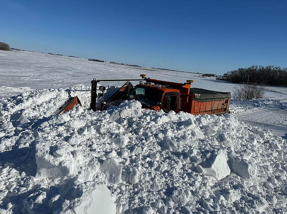
There’s a whole big scientific explanation as to why this happened and I won’t go into all of the gory details. But, basically the meteorological stars aligned with a huge extra tropical storm system that intensified in the Atlantic Ocean that had a high pressure system right behind it that went from Greenland and cut right through the U.S. all the way down to the south western states. That, coupled with a low pressure system sitting between Hudson Bay in Canada and areas of central Nebraska with a strong cold front behind it. That set up a kind of squeeze-play that put St. Cloud and most of Minnesota right in the bull’s eye to get a major snow storm. It started on October 30 in Iowa where it began to snow. As it moved north overnight on Halloween, the snow began to fall as ice. The system seemed to stall out as the snow fell faster and faster and harder and harder and by the end of it all on November 3, records were broken, thousands were left without power, millions of dollars in damage had been done and the human toll in it all? 22 dead.
Getty ImagesGetty Images - 3
Tornado Outbreak July 18, 1986
This day started off like most July days. Hot, sunny and sticky, but by about 5 in the afternoon, the skies had turned very, very ominous. KARE 11 chopper pilot Max Messmer was up in the helicopter getting aerial footage of the Minneapolis Aquatennial Parade, when he and photographer Tom Empey noticed a wall cloud near the Brooklyn Park/Fridley area. The pair decided to check it out, and in an astonishing display of fearlessness, piloting skills and a dash of crazy, Messmer and Empey flew as close as they could to shoot this tornado and flew into the history books in the process. Never before had viewers ever seen anything like this. The storm stalled out over Springbrook Nature Center and flung centuries old trees into the air and tossed them around like toothpicks. Riveted, viewers continued to watch as transformers and power lines exploded. Max stayed on the storm as it tore through the north metro for a half an hour before finally breaking up. This was the first time I really remember having to go to the basement with the family and wait out a storm. I was terrified and looking at the video, I can still recall my dad grabbing the bird cage and ushering us to safety. Amazingly, no injuries or deaths were reported as a result of the tornado and damage was limited to the areas around the Nature Center.
Getty ImagesGetty Images - 2
June 17, 2010
There were so many severe weather events last summer, it’s hard to pick just one, but the tornado outbreak of June 17 definitely sticks out as one of the most memorable. That day started out sunny, hot and sticky, but the long range forecast models had been predicting a severe weather outbreak for that day as far out as a week! In all 74 tornadoes were recorded across four states. Forty eight of those tornadoes were right here in Minnesota, including the EF-4 tornado that struck Wadena. That twister caused $53 million dollars in damage and injured 20. There were also two tornadoes that touched down in Clear Lake. Both of those were rated EF-0, but still caused extensive tree damage.
Jen JacobsJen Jacobs - 1
July 1, 2011
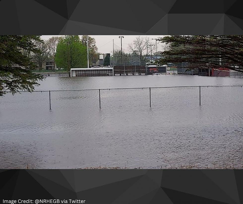
As Minnesotans packed their bags for the long holiday weekend, Mother Nature had some other plans in store for us. A warm, moist air mass had moved in to Central Minnesota on June 30 and the upper level winds had created atmospheric conditions that were ripe for some nasty weather. It was hot and sticky and many areas were seeing highs in the mid to upper 90’s that day with dewpoints in the 70’s. Thunderstorms had begun to pop in the southern and western portions of the state. These pop up storms converged into what is known as a mesoscale convective system. Storms of this type are very well organized and can last sometimes for days. The system quickly marched eastward and intensified into the late afternoon and evening hours. Just after six, a tornado warning was issued and sure enough, at 6:23pm, an EF-0 tornado landed in Waite Park. It wasn’t on the ground for very long, but long enough to cause widespread damage in that area before it moved into the city of St. Cloud and dissipated. The storm system also brought with it golf ball sized hail, straight line winds and lots of rain. That one toppled trees, ripped up yards, and caused flash flooding all over our area.
Jen JacobsJen Jacobs
More From 98.1 Minnesota's New Country

